Previous update discussion – https://www.facebook.com/ArizonaWeatherForce/photos/a.119632656096186/210490727010378/
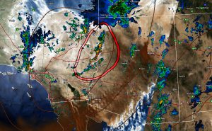
The rainfall forecast did extremely well across the state today. The image here shows what I talked about yesterday in stating that KINGMAN would be the winner for the most thunderstorm dynamics across the state and this image from earlier this evening (outlined-red) shows just that.
Not much to talk about, the system is moving out by tomorrow morning for the most part with maybe only straggling shower/iso thunder between PHX and Flagstaff along I-17 tonight.
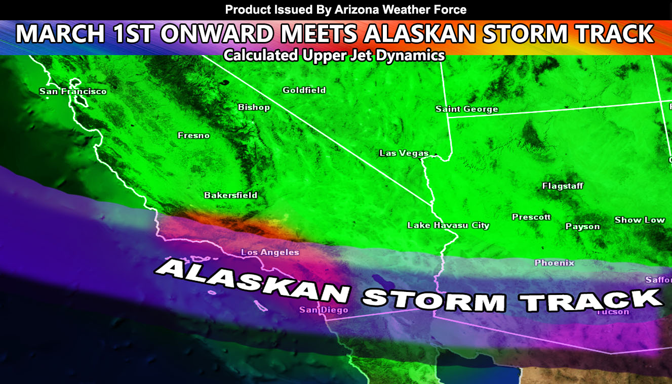
MEDIUM RANGE: Our next system comes in After March 1st so yes… it will rain again across the state, and there are indications that MARCH 2020 will have above average rainfall for Arizona in my preliminary numbers …
I’ll see you sometime over this next week as I monitor after March 1st for you … I hope you are enjoying my work here at Arizona Weather Force … Once Monsoon Season starts, this page will be kicking with all kinds of things during the more active events … Whether you are on the member e-mail alert notification system or on FB, as long as it shows up in your feeds you will see my updates …
As you know, just as Southern California Weather Force has a service for members with micro-climate alerts, Arizona Weather Force does as well and we do have some people already signed up getting those so it is seeming like it is helping. The service helps businesses and persons, especially with ranches. Click Here to read about it and even join.
NOTE: This is the SCWF Website but it is being used for national updates until ad placement is ready on the AZWF site.
Your Facebook Page to join for this update is linked here – https://www.facebook.com/ArizonaWeatherForce


