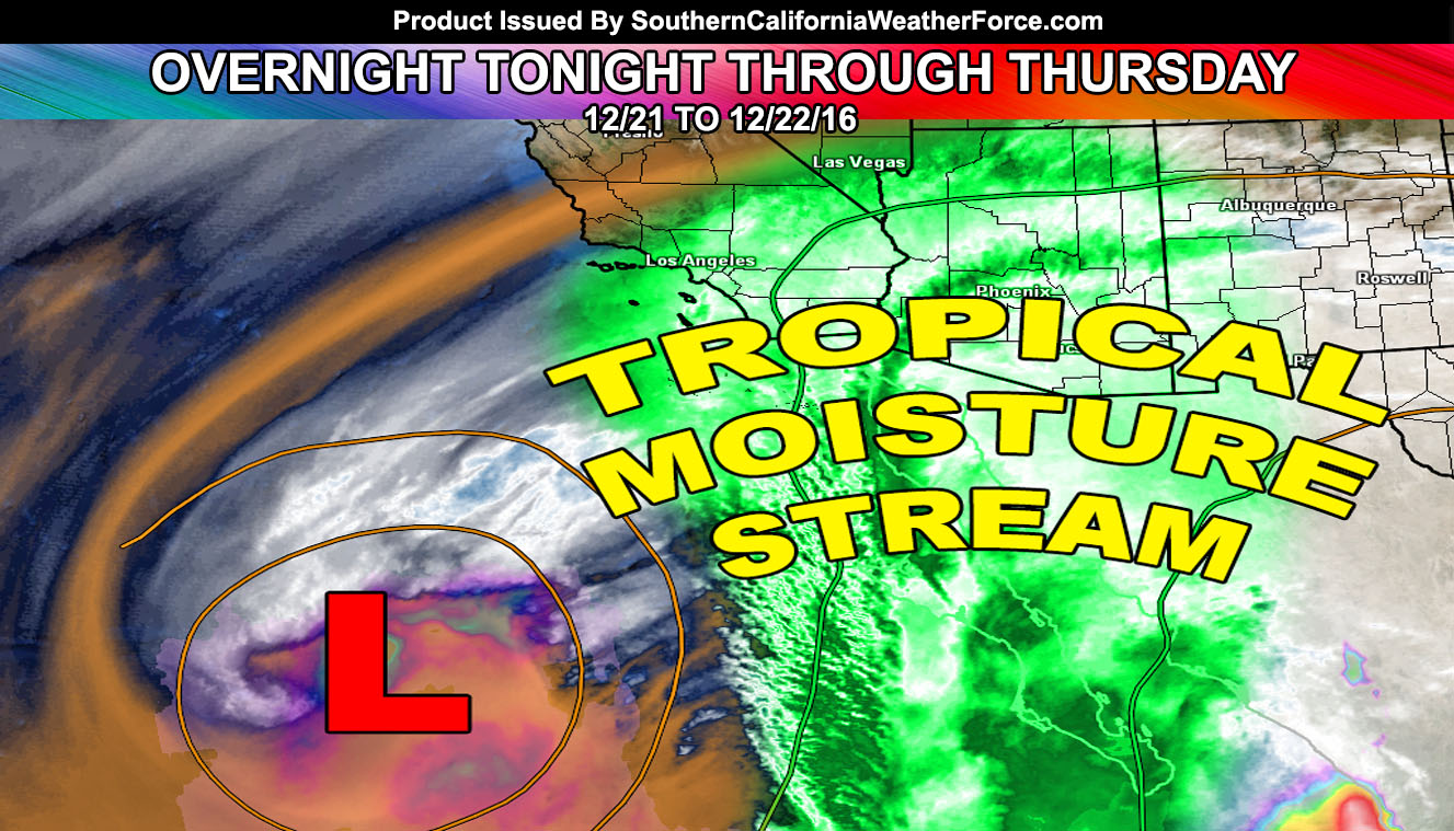
A tropical moisture plume is coming up to Southern California .. a bit odd for December and a reason it was warmer today. It’ll bring shots of showers and even the risk of thunderstorms in spots for half of Southern California through Thursday so read on for details.
Satellite images show an upper level low south of the area. Counter-clockwise flow around it is drawing up moisture from the tropics. It is pretty rare for this to happen in December. However, these are nearly my specialty because a system like this also brings instability to the region and thus the risk of thunderstorms will be elevated.
As for tonight. .. moisture is deep in the mid/upper levels and this will impact San Diego first sometime overnight tonight (very early Wednesday morning). Lifting associated with this moisture front could make it possible for San Diego, Imperial County, and maybe even the Blythe forecast areas to see the first shot of showers and dare I say a thunderstorm chance as well.
As Wednesday moves along into Wednesday night, the other areas such as Los Angeles/VT/IE/OC High Desert regions will get in on the moisture plume and risk for showers and thunderstorms will elevate then.
Feel the most widespread event for this would be Wednesday night …
Due to the tropical moisture influence … feel there will be areas of flooding with it … however at the moment will leave that to my micro-climate alerts to decide.
Pending Pacific Storm Dante for later Friday into Saturday morning … with a snow level between 4,000 and 5,000 FT … It could be a strong system like Pacific Storm Cruella was. Will update on that soon.
Full Members can see the flood risk, rainfall maps, and more during events … Click Here To Enter the Member Section
Make sure you like your micro-climate group! That is where the alerts and magic happens … – https://www.southerncaliforniaweatherforce.com/scwf-weather-alert-facebook-groups-by-region/

