While it is a weak start with nothing around, the official start of the United States Southwestern Monsoon season is June 15th and ends on September 15th. What am I expecting for it? Read on more for details …
Every year in the Summer a ridge of high pressure develops over either Nevada, Utah, the Four Corners, or Northwest Mexico. This ridge of high pressure is what reverses the nominal wind flow pattern across the region and opens the door for tropical moisture from the south and southeast to enter on in.
Every single year is different because of where these ridges would form, however I do have a good idea what type of pattern we are looking at here.
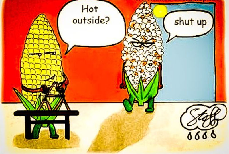
I gave it a few weeks of analysis and then another week of seeing consistency and what I remain with is a season like 2009 and 2016 for our Summer. This would transfer to a hotter than normal summer with drier than normal conditions across the entire Southwest United States, including our region of Southern California. Records could be challenged in the coming months for high temperatures. Now, just because I said drier than normal conditions does not mean we won’t have some monsoon intrusions … but the likelihood of them to be strong is off the table in Southern California.
LIKE US ON FACEBOOK for updates! Click Here and join thousands …
What this means is that my formula for predicting the Fall/Winter Season of 2017-2018 would match for yet another good upcoming rainy season. Being that my Spring numbers must formulate with my Summer values to do so.. we look good and it should be worth the wait for more rainfall in the next season after Summer.
So for now … the heat is on … and the taste of Summer will be fierce for the next week …
Related article: High Heat Warning: Long Duration Heatwave Event Model Forecast Details

