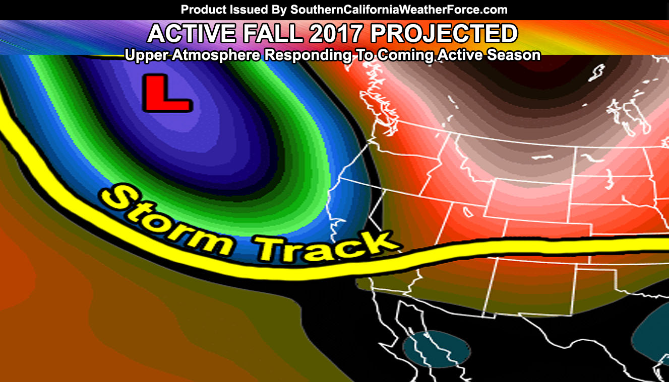
An active season coming up is looking more likely for the Southern California area … read on for details.
As you may or may not know, September 1st is the start of meteorological Fall, whereas the traditional later month days are astronomical. Weather patterns usually follow September 1st for Fall, December 1st for Winter, March 1st for Spring, and June 1st for Summer. Such was the case with this year, which is turning out to be an interesting summer.
The August 2017 forecast I released to premium members on July 24th, and to you just a couple days ago spells out a pretty abnormal August. While temperatures in the nominal spots will be normal to above normal … many days coming up will be dry and warm/cool … below normal in temperatures and precipitation.
LIKE ME ON FACEBOOK for updates! Click Here and join thousands …
Now the Fall season here at Southern California Weather Force starts in less than a month. There are indications that Fall 2017 will have above normal precipitation, which is one thing we really need to dampen the major fire season that would come up.
September usually has a major ridge of high pressure over the Gulf of Alaska and Offshore Oregon and California. This ridge generally blocks storms and sends them eastward … giving our area strong Santa Ana Wind Events. While those are still possible, I’m leaning toward a low pressure system forming over the Gulf of Alaska, which will be bring a trough further down … giving storm systems into the West Coast rather than dry air.
The same general pattern would be said for October and November …
Indications are we neither will see a strong or moderate La Nina or El Nino … which will certain transpire into another neutral year, similar to to last year … and as such would help to maintain an above normal rainfall year coming up.
Don’t forget to read the August 2017 Forecast … by clicking here.
Click Here To Find Your Zone On Facebook For Updates Now and In The Future
Click Here To Find Me On TWITTER.

