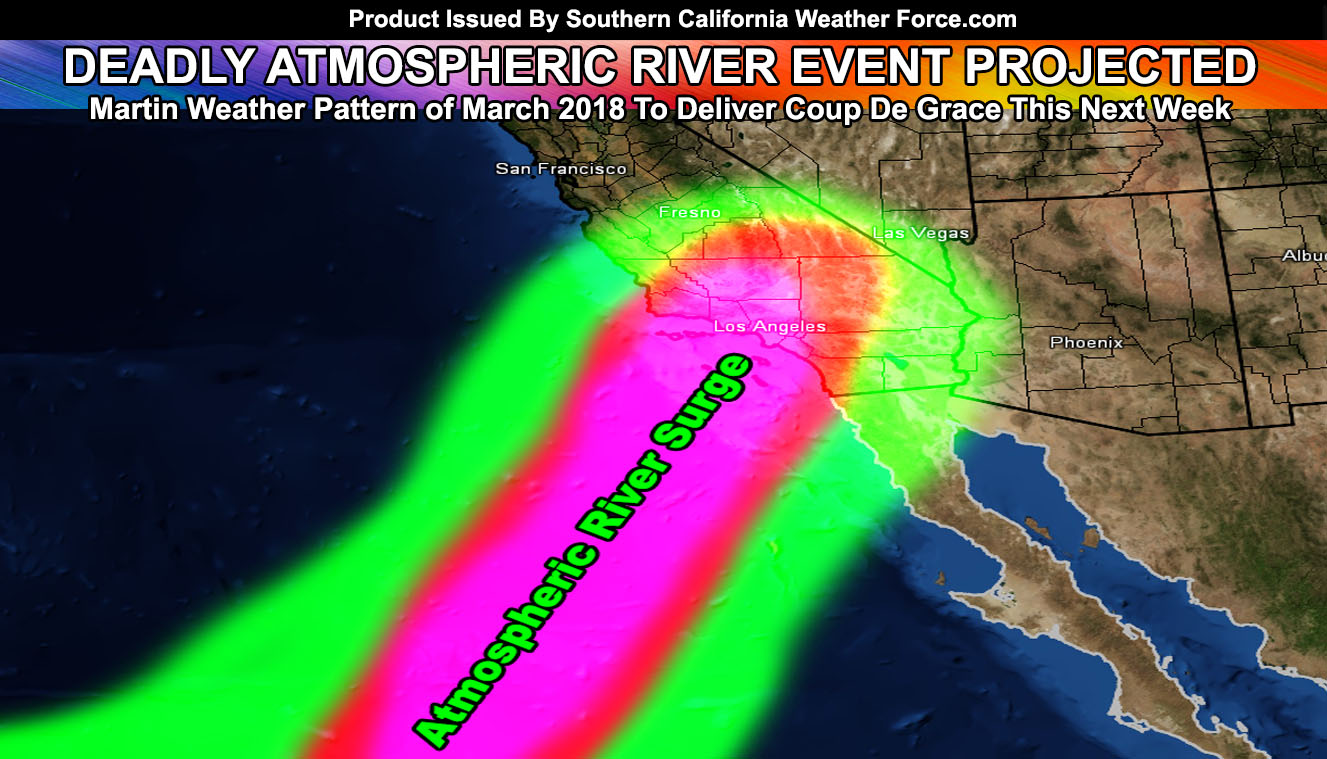
We are coming to the end of the Martin Weather Pattern of March 2018 and the final blow will be to the burn areas with an atmospheric river this next week. Thomas Fire burn scar residents start preparing now. Read on for details for your area.
First I’ll go with the rest of today and tonight. An impulse today has brought out my weather advisory product for the San Luis Obispo, Santa Barbara, and Kern County areas, into the Los Angeles Desert zones as well. This impulse will bring an upswing in shower and isolated thunderstorm activity in those areas. A convergence zone forming west of Lancaster/Palmdale will move eastward with time and as the sun sets, this rain will mix with snow in the Antelope Valley and turn into all snow as it moves toward the Phalen/Victorville forecast area. Could see a quick burst of snow in some High Desert zones later this evening.
This impulse will also bring some more precipitation for the Inland Empire, some OC locations, and along I-15 in San Diego County as well today …
If it does not say “Liked” LIKE The Page Below and join thousands of informed weather forecast viewers in our region for more of the updates!
As for this next week. As predicted at the beginning of the month, a deluge is set to hit the forecast area. This deluge will be in the form of an atmospheric river out of the southwest. This long extent of moisture will reach into the tropics and nail the forecast area by later Tuesday, maximizing on Wednesday and Thursday. The low level wind with it suggests a major topographical influence on the south facing mountain slopes, which does include a direct surge into the Thomas Fire burn areas like a couple months ago. Unlike a couple months ago, this is not a cold-front. This is an atmospheric river and thus will be more dangerous than that one. Debris flows similar to volcanic lahars are going to be likely again.
Do NOT wait for a mandatory evacuation to be issued if you were impacted by the event a couple months ago. I am giving the same warning now as I did back then.
This event will slide eastward and impact the rest of the forecast area as well. As usual, the least precipitation will be Imperial County.
Because this is a tropical flow, the snow level will be over 7,000 Feet with it and flood watches will be needed in the mountain communities as well.
This system will be called Raylene, the next in the list for the 2017-2018 storm season.
Click Here To Find Your Zone On Facebook For Updates Now and In The Future

