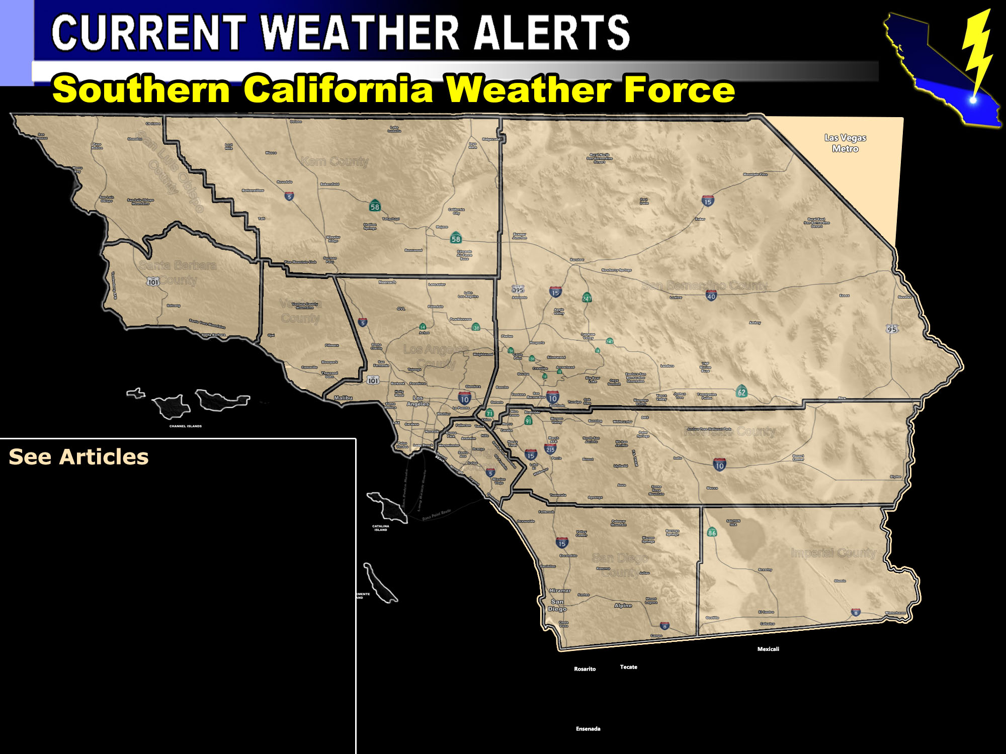

Issued Zones: Kern County … Ventura County… Los Angeles County … Orange County … North and Western Inland Empire… does NOT include Perris/Temecula/Hemet forecast zones …
Site: Southern California Weather Force has issued a Thunderstorm Watch effective today …
Date: 10/3/18 at 8:00am PT
Forecast: Pacific Storm Ophelia will be moving into the forecast area. It is placing itself in the NORTHWEST Martin Storm Diamond, a sweet spot southwest of the Southern California area. Widespread showers and/or thunderstorms is expected as a result in and around the watch area.
For this watch zone, strong lifting today/evening will promote thunderstorms. Instability under the early October sky will give way to thunderstorms forming. These storms will form in the upper divergent section of the storm itself and move off to the north and northeast.
Pretty much anywhere in this rather large watch zone is fair game for thunderstorms, with the most rain thought of in LA County where small stream urban flooding is possible with any of the coming cells.
The SCWF Member Section model is even pegging a chance a cell could be severe embedded in the watch area … but because it is a small area for that a thunderstorm watch was better suited.
PREMIUM MEMBERS – Click here to check out what is updated today in the SCWF member area …
Join A Micro-Climate Group On Facebook For These Alerts – Click Here To Find Your Location Served By SCWF Today!
10 mile rule: These alerts issued on this site means that within your zone and 10 miles from you will see the event forecast for. You may or may not see the event but it means you are in the zone or 10 miles from where someone will.
Forecaster: KM
