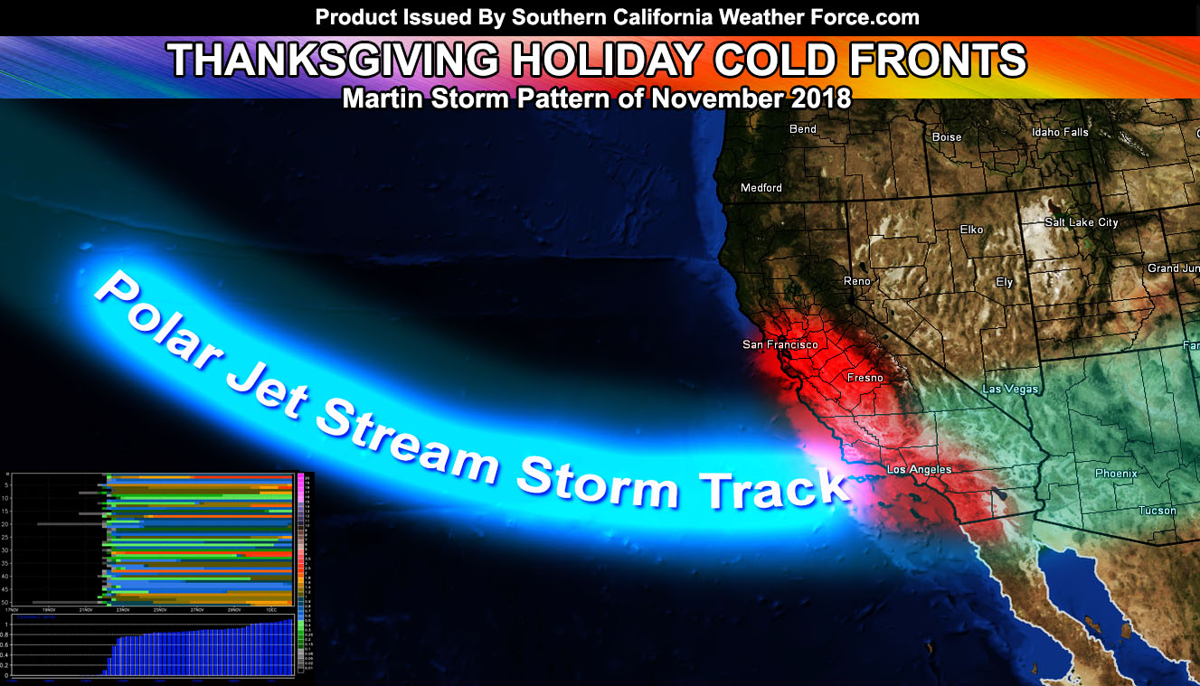
Heads up burn areas because California’s Martin Storm Pattern will begin this week with rainfall even down into Southern California, the most slamming the Camp Fire burn area with 5″ or more of rainfall for Montecito like damage. Read on more for details.
Confidence continues in my storm pattern forecast long ago in my long range and it is rising. Our first front will hit around Thanksgiving, give or take a day or two on each side of Thursday. We will have a very weak upper pattern by the beginning of this next week, but this doesn’t look like it’ll be significant. The better rains come toward the Thanksgiving Holiday and after that all the way into the end of this month.
Members have been getting their updated rainfall averages model in this now medium range forecast period. Additional micro-climate alerts will be released as we near the start of this pattern. What is the ‘Martin Storm Pattern?’… Named after my last name, the Martin Storm Pattern is called out when a forecast here at Southern California Weather Force is before any other source or computer forecast. Similar to an astronomer getting their last name on a comet.. I solidify in history mine with storm patterns. This will be the Martin Storm Pattern of November 2018.
My original November 2018 forecast called for 0.50 to 1.5″ of rainfall and this pattern looks to give between that window. It will not be a major storm pattern with over 4″ of rainfall.. but for November it’ll do nicely do dampen the area down and mitigate near-future fire patterns. Some burn areas will see short periods of heavy rainfall bursts.. but this does not look anywhere near the Martin Storm Pattern of March 2018 where Montecito had lost lives and damage. Still.. if in these burn areas in Southern California continue to monitor my latest forecasts.
If in California’s Chico areas in the Camp Fire burn zones you will need to prepare now for debris and mudflows. While the storm will eradicate the Camp Fire zone’s fire and hotspots as a gift from the heavens… the flip-side will be the mud and debris flows,… aka lahars…
End
NOTE: Premium members. If you are signed up, your login is your e-mail address and the username and password as the password. You can change the password
Ongoing Ad – The Southern California Weather Force has a member section with LIVE UPDATES FOR EVENTS and rain, wind, thunder, tornado etc models that are personally updated by me with each Santa Ana Wind or storm event. You also can get e-mailed alerts via a slew of micro-climates. Check the member section for details on how you can support this service.. along with getting service in return… Click Here To Join or Upgrade Via The Member Section
Please remember if upgrading to CANCEL YOUR PAYPAL PAYMENTS. Login and cancel the reoccurring payments.
The Southern California Weather Force has different Facebook groups that you can ask for notifications from in order to get the latest posts affecting those regions. If that area is talked about in an article, alert, and such .. it’ll be posted there and you can be notified.
Comments are usually DISABLED as we do like to keep this as an information giving group and replies from others in the notification may annoy some.
Find your micro-climate group here – https://www.southerncaliforniaweatherforce.com/scwf-weather-alert-facebook-groups-by-region/
EMAIL ALERTS? Many micro-climate zones to choose from to get custom alerts from thunderstorm, wind, flood, surf, heat, cold, storm, and much more with the premium e-mail alert system, the most advanced zone alert system in Southern California – Click Here To Join!
SOUTHERN CALIFORNIA ONLY: if it does not say “Liked” LIKE The Page Below and join thousands of informed weather forecast viewers in our region for more of the updates! noticeable
BEHIND THE SCENES FORECASTS/UPDATE PAGE: if it does not say “Liked” LIKE The Page Below and join thousands of informed weather forecast viewers in our region for more of the updates! noticeable

