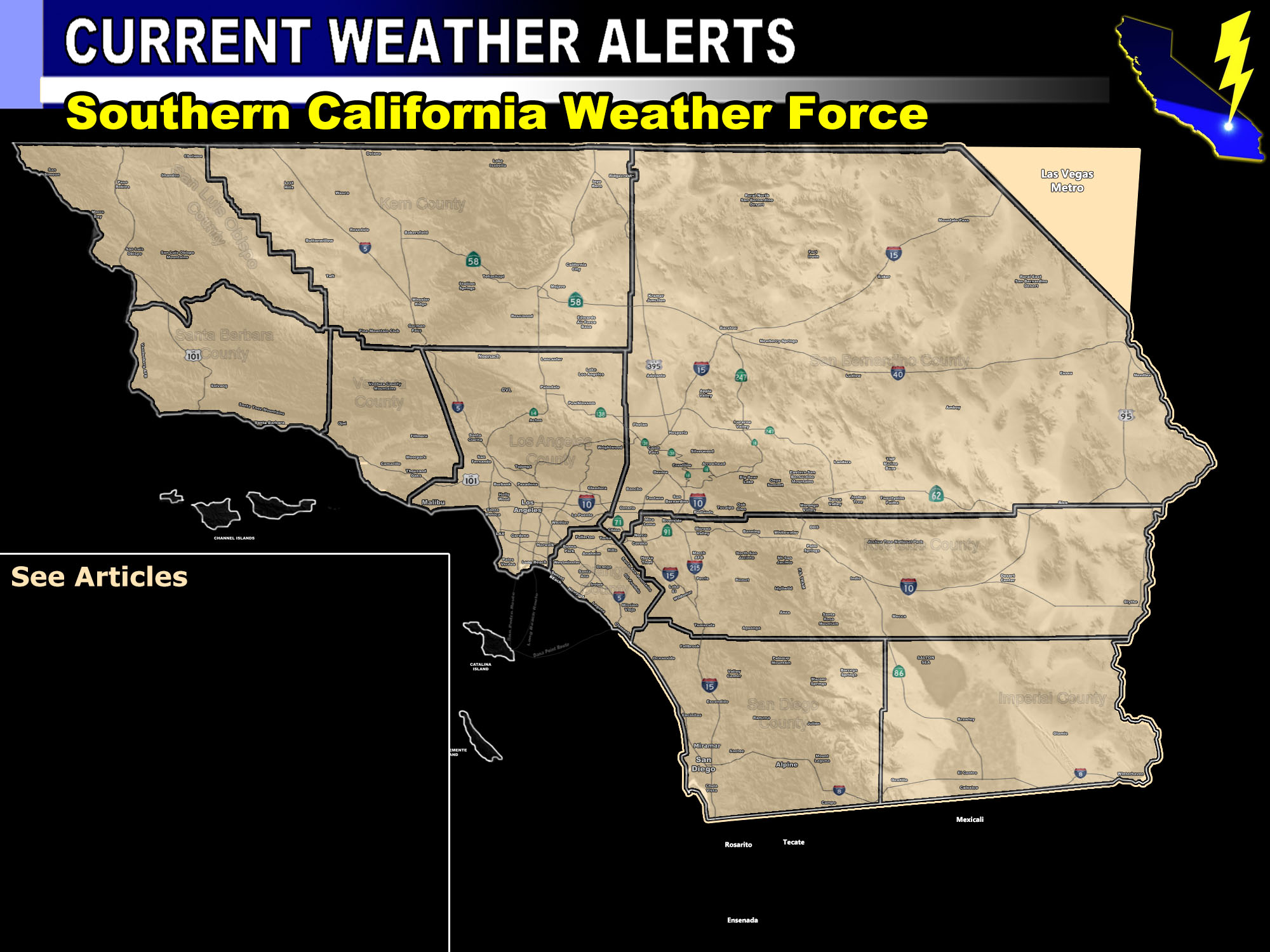

Issued Zones: Southern Los Angeles County Coast/Basin … Orange County coast/basin … San Diego Coast/Valley …
Site: Southern California Weather Force has issued a Squall-line Watch effective now for overnight tonight into Sunday morning after sunrise …
Date: 1/5/19 at 4:40pm PT
Forecast: A fast moving cold front is currently near Santa Barbara and is producing waterspout potential. This was expected with the previously issued FLOOD ADVISORY here at SCWF.
This will move in overnight for this region and near a couple hrs before sunrise for San Diego proper.. earlier for OC/LA. Shear in the low levels is more than enough to warrant the risk of stronger waterspouts that can make it ashore as small tornadoes.
Because of the lack of some inner dynamics, a Tornado Watch was not needed this time … but tornado mention will do along with gusty frontal zone winds along this squall-line. The squall-line will be broken so some of you may miss it while others get hit …
PREMIUM MEMBERS – Click here to check out what is updated today in the SCWF member area …
Join A Micro-Climate Group On Facebook For These Alerts – Click Here To Find Your Location Served By SCWF Today!
10 mile rule: These alerts issued on this site means that within your zone and 10 miles from you will see the event forecast for. You may or may not see the event but it means you are in the zone or 10 miles from where someone will.
Forecaster: KM
