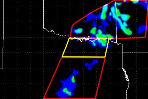
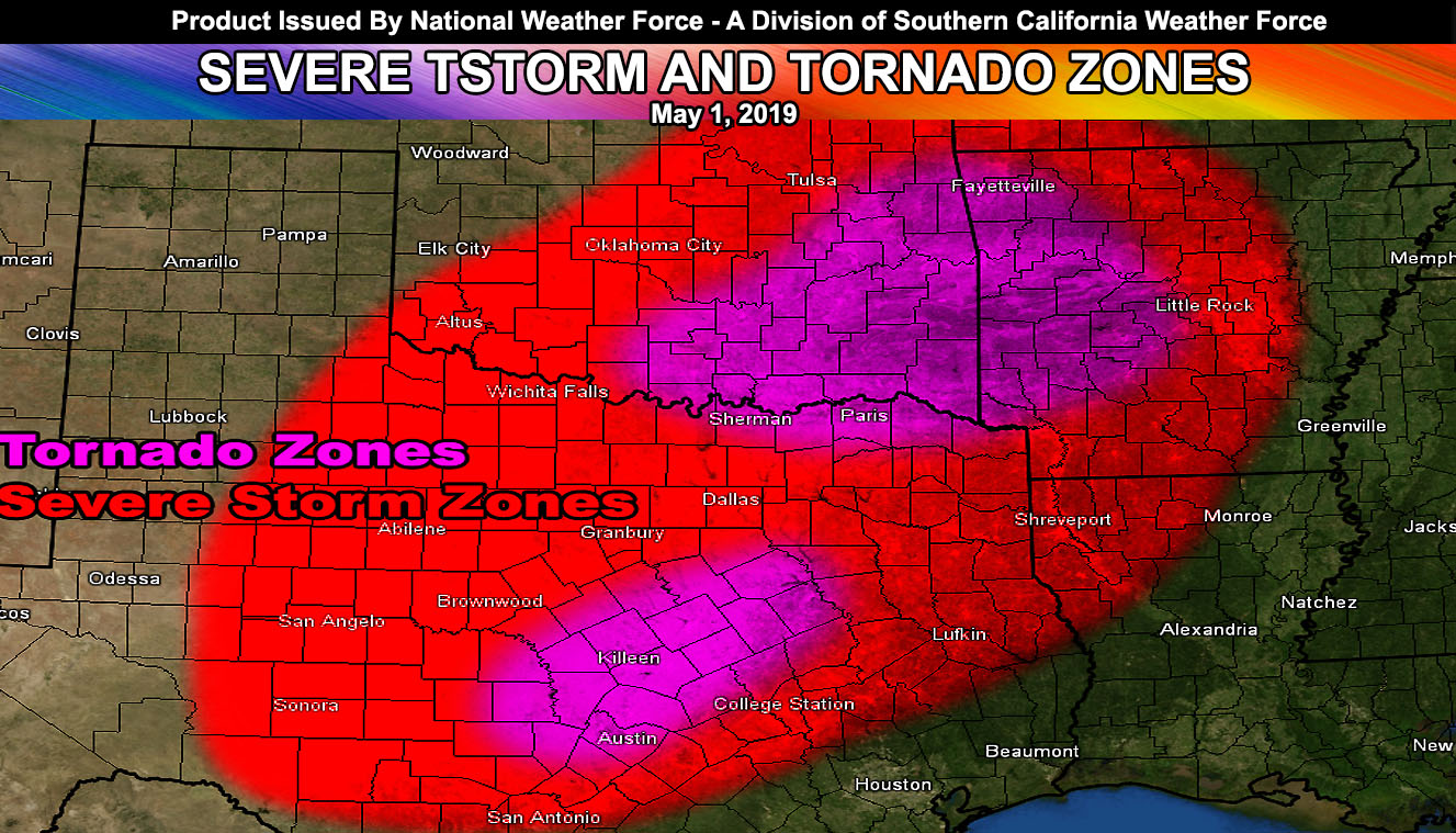
Day two of severe weather in both states will happen today, this time closer to the populated metro areas, especially the Austin to Dallas-Fort Worth zones so read on for details.
I ran the tornado mask I developed for tornadoes. The tornado mask clearly shows storm development in the Austin forecast zones today. This will be along the shear boundary and this with elevated instability and backing southeast flow already present will bring about the risk of tornadoes, mostly from F0 to F2. I would issue a tornado watch in the ‘pink-shaded’ areas in the Austin, Texas coverage areas.
Further to the north, the tornado risk is lower due to the lack of shear in the region. There is a very small blip on my model showing up for the Decatur, Texas region, just northwest of the metroplex. This very small blip means that surrounding that by at least 30 miles on all sides would mean supercells popping out of the south would be discrete and therefore produce a chance of a spin-up, likely only F0. ACtivity out of the southwest will bring severe thunderstorms capable of large hail and damaging winds through the metroplex later on, but the tornado potential remains low.
As for the other areas of Southeast Oklahoma and Western Arkansas. High-resolution models do not show much, however, my mask does. Thinking right now those models are thinking that the outflow boundary and storm complex now moving through Arkansas is going to keep the area cool and the instability low. I think there will be a rebound in instability and thus the area does have better and more widespread areas of low-level shear. This will make the area have a risk of tornadoes regardless of what other forecasts are showing. I would monitor the Eastern/Southeast Oklahoma to Western Arkansas for a tornado watch, surrounding Fort Smith, AR.
Another complex of storm activity will come through these same areas of Oklahoma, Texas, and Arkansas on your Thursday, with Friday being the day of ceasefire from mother nature.

FACEBOOK PAGES TO JOIN!
NATIONAL WEATHER FORCE MAIN PAGE: The National Weather Force is the national forecast alert project in development in what you just read in the articles. It will cover national weather during events only and it will be able to target your newsfeed so you will only get the updates that pertain to your state. Join today!

