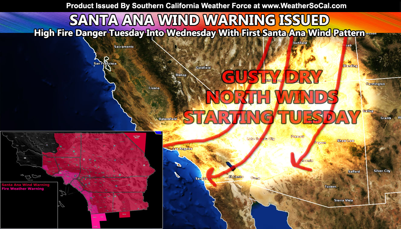
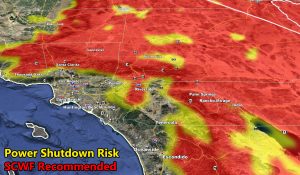
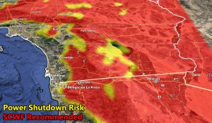
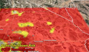
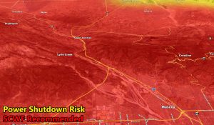
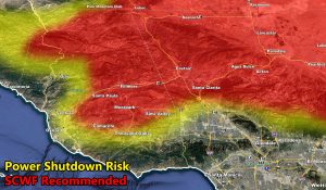
Southern California Weather Force – For Immediate Press/Social Media Release – has officially upgraded the Santa Ana Wind Watch to Santa Ana Wind Warning as gusty Santa Ana Winds are expected to arrive by Tuesday and last into Wednesday. Wind models are up as well as the electric company power shutdown risk model I developed last year, which tells you their algorithm to shut power down in fire hazard zones vs what I would recommend. Still, read on for details, the map zones are important to know and it could save your life …
Join Southern California Weather Force main Facebook Page for future updates!
A cold front is expected to move through Wyoming and Colorado on Tuesday, where I have issued over my national page the Winter Storm Watch (Click here to read that). The cold-air in the Great Basin as a result will create a thermal gradient with the hotter air here in Southern California. This will bring winds through the Las Vegas and Southern California Desert areas early Tuesday and eventually jet out into below the passes and canyon south and west of the mountains.
Wind gusts will be onshore on Monday however and gusty winds will hit the Antelope Valley/Kern Mountain areas east to the Metro High Desert then before switching the opposite direction on Tuesday. Northerly winds will also be strong in all desert areas on Tuesday, which is a bit rare for an offshore Santa Ana Wind Pattern so you are in the warning. San Diego/Riverside Mountains will hold off till Wednesday when the easterly flow kicks in. All I can say is it is not a prolonged wind event, but because it is the first of the season along with higher temperatures, a warning is now officially in effect. It is also a Fire Weather Warning.
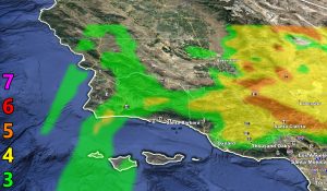
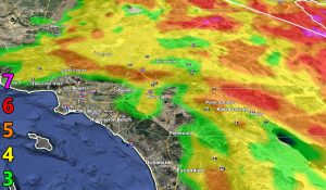
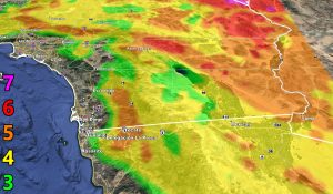
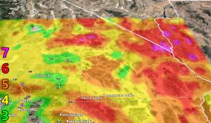
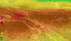
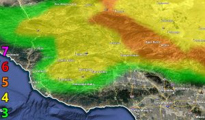
The models below are for this event, mainly Tuesday and Wednesday. The key to the models is within the image and the writing description is in this article. Read/view below, the last two is the SCV and Cajon Pass zoom in.
We are also far from done… This month will probably range in one of the hottest on record given another heatwave is coming by mid-month.
7. Trees are broken or uprooted, building damage is considerable. – High Profile Vehicle Roll-Over CERTAIN.
6. SOME Trees are broken or uprooted, building damage is possible. – High Profile Vehicle Roll-Over Likely, Do NOT recommend Traveling in this zone
5. Slight damage occurs to buildings, shingles are blown off of roofs. HIGH WIND WARNING CRITERIA – High Profile Vehicle Roll-Over Possible if weight is not corrected.
4. Twigs and small branches are broken from trees, walking is difficult. Anything 4 and above will have blowing dust if conditions are dry, which does reduce visibility and make driving difficult …
3. Large trees sway, becoming difficult to walk. POWER SHUTDOWN THRESHOLD during any high fire risk. WIND ADVISORY CRITERIA
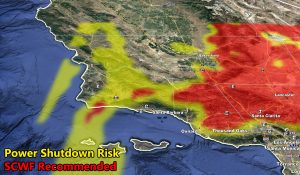
Now these models are the power shutdown criteria model. My criteria is more realistic, but… of course the State of California is different and shuts it on weaker events. If you are in the yellow or red and get notices that power can be shut off during Santa Ana Wind Events then those models are for you.
As always, stay tuned to Southern California Weather Force for official forecasts and updates in weather across Southern California
Join Southern California Weather Force main Facebook Page for future updates!
MICRO-CLIMATE ALERT FACEBOOK GROUPS: Find yours today!
Click here to join
Reading for another state? Join my national page – https://www.facebook.com/nwfweather/
FACEBOOK PAGES TO JOIN!
SOUTHERN CALIFORNIA WEATHER FORCE MAIN: Southern California Weather Force Office Main Page
BEHIND THE SCENES FORECASTS/UPDATE PAGE: Southern California Weather Force Meteorologist Page
FOR THE CALIFORNIA FAULT STRESS MODEL PAGE: For SCWF official updates to the California Fault Stress Model and more!
“PONDER THIS” SCIENCE ADVENTURE SHOW: A science adventure show developed here at Southern California Weather Force that is a fun ride!
INSTAGRAM AND TWITTER ACCOUNTS TO JOIN!
Instagram – https://www.instagram.com/socalweatherforce/
Twitter – https://twitter.com/SCweatherforce

