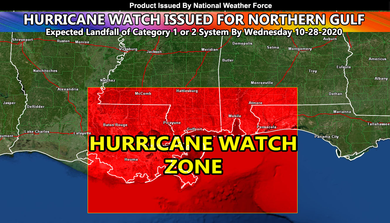
National Weather Force has issued a Hurricane Watch for ZETA effective now for areas far west as Southern Louisiana and far east as the Western half of the Florida Panhandle, including Pensacola so read on for details.
Hurricane ZETA is a tropical storm right now, however as it continues to move through the same areas Hurricane Delta did it will strengthen into a hurricane, curving northward and then hitting the Northern Gulf of Mexico. As the first forecast, the watch zone is wide, expanding from Southern Louisiana to the Florida Panhandle, which does include Pensacola.
Strength of the system is iffy right now, but it does not look to make category 4 or 5. The hurricane will be sucked in by the storm now entering Arizona so the shear it will encounter on Tuesday and Wednesday will be enough to keep it a minimum system. Some calculations here at National Weather Force show the system at either a category 1 or even a category 2, which is a bit higher than surrounding offices.
The system will arrive in the area on Wednesday. National Weather Force will continue to monitor it for all viewers and narrow down the landfall point as it will be anywhere in the watch area for now. If you are reading this and are a viewer, remember I have the new android/IOS app you can download, set your state, and get the notification when this service focuses on an event as this service is only a higher impact weather event prediction office.
Your State notification zone is on the National Weather Force Android/IOS App notification system and you can find it here for free and never miss a post on this page for your state again,
Download Today at – http://www.nationalweatherforce.com/2020/07/fb-weather-phone-app/
Stay tuned to official forecasts here at National Weather Force
NOTE: This is the SCWF Website but it is being used for national updates until ad placement is ready on the NWF site.
Your Facebook Page to join for this update is linked here – https://www.facebook.com/nwfweather/

