April 2021 ended with well below normal temperatures along the coast, average inland, and above in the Bakersfield and High/Low Desert regions. May will end with a seesaw pattern, which is quite typical of the month. Temperatures and rainfall will fluctuate back and forth so for the full forecast on when that will be read on for details …
May 2021 will signal the seesaw pattern yet again just as April 2021 saw. A seesaw pattern is when the jet stream is starting to adjust to a pre-summer pattern, which means at times it’ll be hot and at times it will be cold. From what I can see and crunch from the current jet stream pattern is that we will return to a chance of precipitation and cooler weather after around or between May 17th and 27th. For the most part, May Gray is the marine layer month, similar to June Gloom. The waters however are warmer than normal offshore, which is telling me that the number of days with May Gray will be above the normal this year for inland surges.
As a result of this pattern, areas along the coast will be colder than normal, all areas inland, including the deserts, will have above-normal temperatures. If you need to get the roofing done this month, the best time to do so is the first half of it.
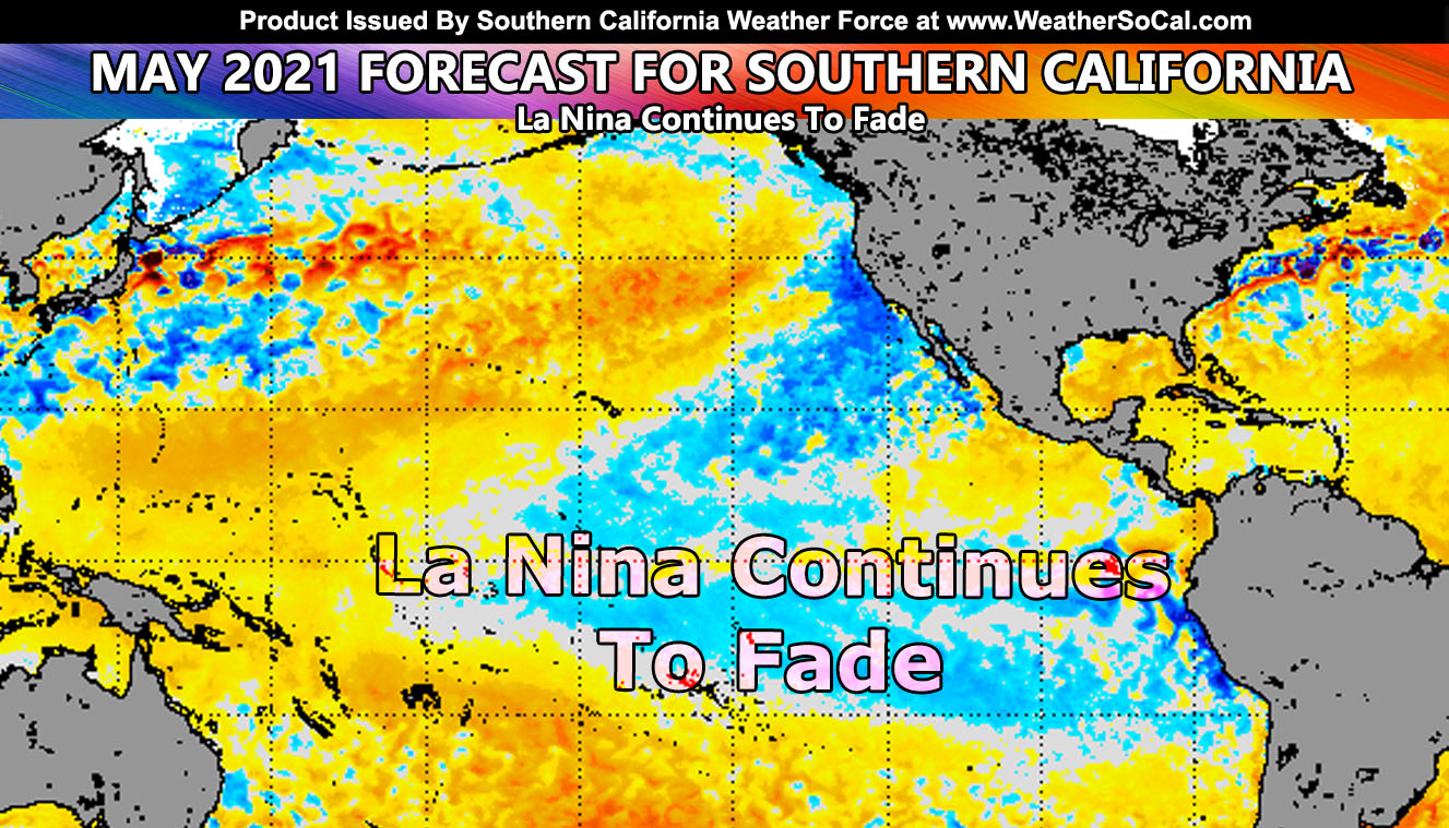
SUMMER MONSOON: I will not go too much into this, but as I said last Summer the reason for my prediction of fewer monsoon events was because of the growing strong La Nina, which is what should have followed into the winter season forecast as well. So with that being said, the La Nina fading would result in more Eastern Pacific Hurricanes, which would up the moisture profiles in the Desert Southwest, including Arizona, and bring us a stronger monsoon flow. This is what I will be monitoring. However, if the La Nina fails to diminish, it’ll be another dry period again. But, the chance of it diminishing is higher than not so my final forecast may reflect what I already stated in this paragraph.
There you have it, a seesaw pattern to come and a developing monsoon season …
SCWF is on MeWe – https://mewe.com/p/southerncaliforniaweatherforce
MICRO-CLIMATE ALERTS DELIVERED BY EMAIL, FULL MEMBER SECTION WITH INTERACTION DURING EVENTS, ZOOM IN MODELS TO YOUR HOUSE/BUSINESS YOU CONTROL, AND MORE …
CLICK TO JOIN THIS WEBSITE AS A PREMIUM MEMBER
FACEBOOK PAGES TO JOIN!
SOUTHERN CALIFORNIA WEATHER FORCE MAIN: Southern California Weather Force Office Main Page
SOUTHERN CALIFORNIA WEATHER FORCE METEOROLOGIST: – Just my public figure page that isn’t as large so maybe you can reach me better at times.
NATIONAL WEATHER FORCE – Join my NATIONAL page for higher-end events like flood, tornado, hurricanes, and more –
INSTAGRAM, TWITTER, and NOW MEWE ACCOUNTS TO JOIN!
Instagram – https://www.instagram.com/socalweatherforce/
Twitter – https://twitter.com/SCweatherforce
