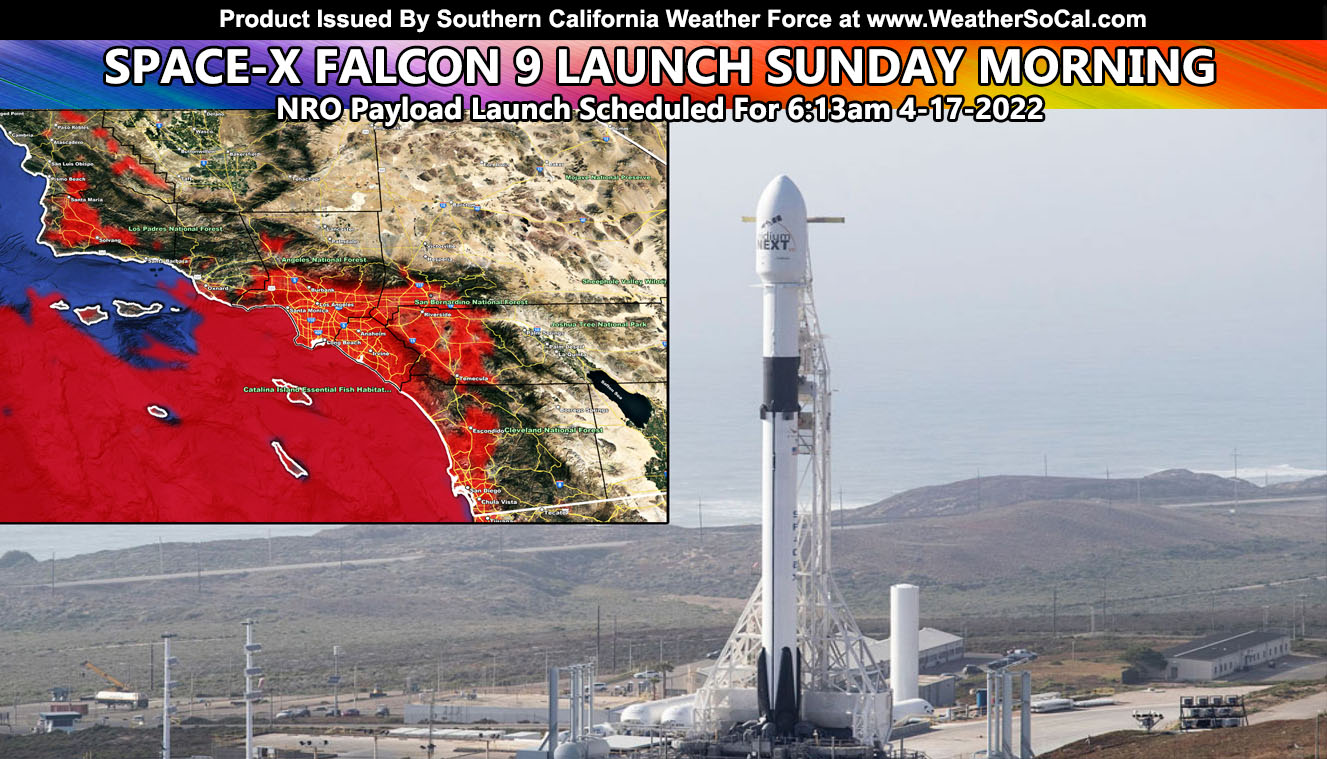
SpaceX is set to launch a Falcon 9 rocket from Vandenberg Space Force in California no earlier than 6:13 a.m. PDT (9:13 a.m. EDT; 1313 GMT) Sunday with a top secret payload for the National Reconnaissance Office, the U.S. government’s spy satellite agency. The Falcon 9 booster will return to a vertical landing back at Vandenberg about eight minutes later. SpaceX delayed the launch from Friday due to a technical issue, then decided to skip a launch opportunity Saturday because of unfavorable upper level winds.
Join the Facebook Page for Further Updates If You Have Not Yet!
SOUTHERN CALIFORNIA WEATHER FORCE MAIN:
WEATHER: Upper-level winds will not be an issue on the launch time like they were today. However, a Catalina Eddy will develop and bring the marine layer into the San Diego, Orange, Los Angeles, and Inland Empire areas. This marine layer can bring clouds to the Ventura proper zones but not as much inland. Low clouds and fog will surround Solvang and Lompoc, but the beaches of Vandenberg and surrounding may actually be free of them, as would Santa Barbara proper. This is because a northwest wind will be present, not strong, but enough to push the low clouds south of the Channel Islands, affecting the more populated areas east of there into where I already said above.
The best place that would see the launch would be the Kern Valley zones and even a chance San Luis Obispo will be free of the low clouds and fog with that northwest wind. The entire High and Low Desert will also be free of them, including all mountain zones.
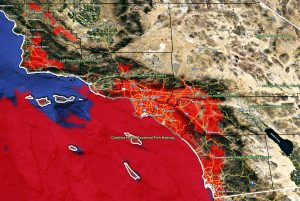
If you are planning on seeing this launch, use the map within this article and below for those locations. Locations in red = poor visibility with low clouds and/or fog.
This launch happens at a target time of 6:13am. Sunrise is a couple minutes after that so what you might see is a twilight effect and a visible contrail a long way from the base. All photographers good luck … as for us in the populated areas … better luck next time …
How to get these alerts with a premium subscription via e-mail by micro-climate zone AND/OR Get the GPS models for all events on your device enabled? (100 percent delivery time)
Click Here To Join The Season Tier
Join The Main Southern California Weather Force Facebook Group (50 percent delivery time) – You can join the main SCWF page as well through that group.
Click Here To Join The Page Today
FACEBOOK PAGES TO JOIN!
SOUTHERN CALIFORNIA WEATHER FORCE MAIN: Southern California Weather Force Office Main Page
SOUTHERN CALIFORNIA WEATHER FORCE METEOROLOGIST: – Just my public figure page that isn’t as large so maybe you can reach me better at times.
INSTAGRAM, TWITTER, TO JOIN!
Instagram – https://www.instagram.com/socalweatherforce/
Twitter – https://twitter.com/SCweatherforce
Southern California Weather Force is a custom weather alert service that began in September 1999 off and is regarded as the most accurate weather service in the region, offering custom alerts, maps, and models to help save life and property. The work done here is never 100% accurate, but it comes pretty close. Southern California Weather Force runs on zones, so if an event happens in a zone that is 10 miles from the border of your zone, the forecast is still valid to activate your zone’s alert system. A company quote to the public is that of “The Joker” and tells other agencies in weather this all the time… “This world deserves a better class of meteorologist… and I’m gonna give it to them”… out-forecasting even the National Weather Service with lead-time and precision, which makes this service a focus of ridicule and envy in the weather community due to having such accuracy. Alerts issued here are issued custom from this office and this office alone. You may not even hear it elsewhere, but if one is issued near or in your area, listen up because “if you do not wish to die in weather, follow, it’ll save your life one day.”


