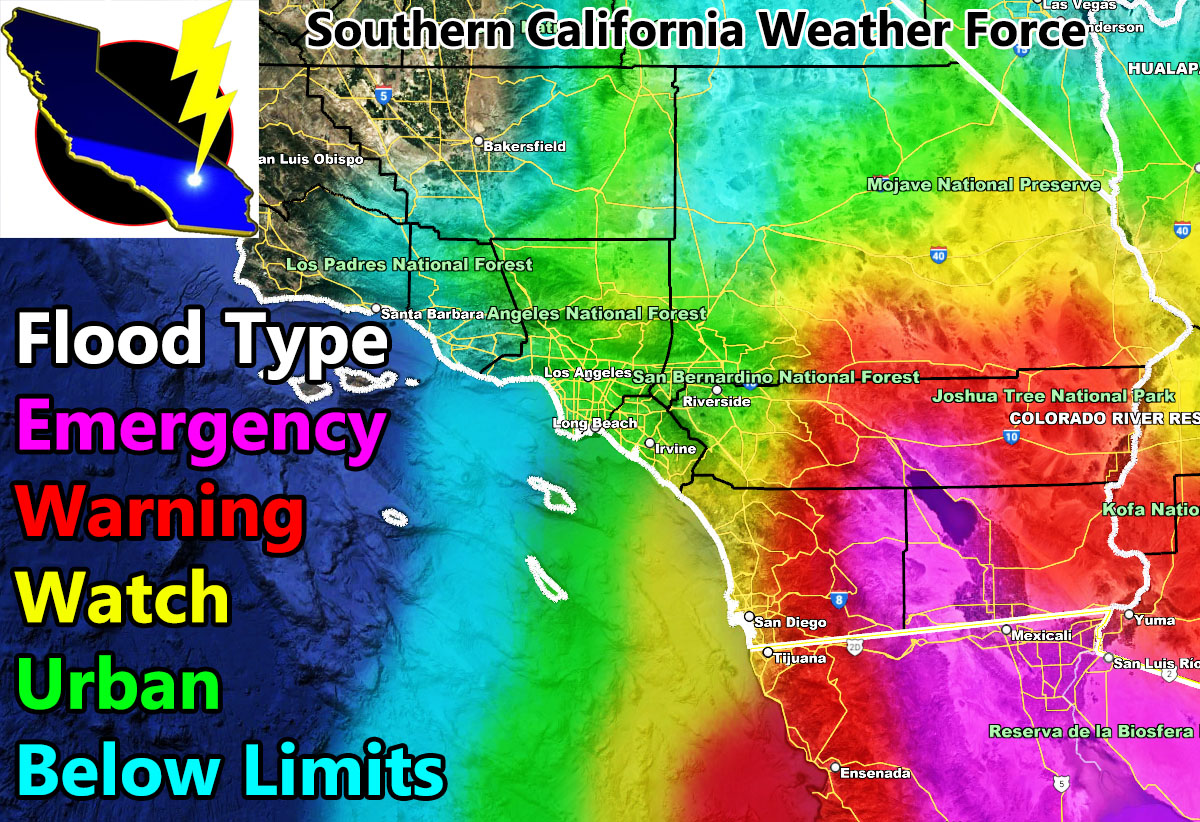
Southern California Weather Force has issued three alerts ahead of Hurricane Kay. Those alerts are the Flood Emergency, Flood Watch, and Urban Flood Advisory effective for some starting Friday, the rest on Saturday. If you live in the Emergency alert zone on the map provided you cannot say ‘I’ll believe it when I see it’ because when you see it you are too late and won’t want to believe it. Read on for details on which alert is for who and by read I mean read the zones listed below. Oh and I do not forecast for backyards, only zones. I forecast for 10 counties of Southern California equally so even if you live in the middle of the Salton Sea on a boat (eww), you are covered when you are a focus spot.
Join the Facebook Page for Further Updates If You Have Not Yet!
SOUTHERN CALIFORNIA WEATHER FORCE MAIN:
Hurricane Kay is expected to be a category 2 today and then a 3+ (major hurricane) by Wednesday. She will impact the entire Baja Peninsula and cause a lot of damage. Because those zones are not in my jurisdiction I cannot issue alerts for them, but the wording is here as you read it. All SCWF models are getting stronger with it and strong and close enough to have issued these warnings/watches/advisories.
THUNDERSTORMS: There is a chance of isolated thunderstorms in the metros, but the thunderstorms will be further away from the center of Kay. This is typical in all tropical systems due to more stable instability conditions nearest the core. The best chance will be in the Flood Emergency areas below …
FLOOD EMERGENCY: This alert has been issued here at SCWF for Eastern San Diego County, The Imperial Valley, and the Salton Sea/Mecca zones along I-10 between Mecca and Desert center, effective later Friday into Saturday.
A Flood Emergency is issued here at Southern California Weather Force when conditions are favorable for extreme damage from heavy rainfall in a short period of time, which can damage buildings/houses and even roads. If you are in this warning, you must prepare now, which means power can go out and you need to be prepared for such.
FLOOD WATCH: San Diego County Coast and Valley … Rosarito/Ensenada … South and Eastern Inland Empire from Temecula, Hemet, and Banning … Big Bear Lake … Along I-40 from Ludlow to Needles … San Diego/Riverside Mountains … Coachella Valley … Morongo Basin … Eastern Deserts including Desert Center/Blythe … Eastern Imperial County Glamis, effective later Friday into Saturday.
A Flood Watch is issued here at Southern California Weather Force when conditions are favorable for the risk of mudslides, especially with ongoing or past fire/burn scars and can produce flash flooding in the elevated areas that will create rockslides. This also can put the power out so prepare for the risk of this …
URBAN FLOOD ADVISORY: Orange County … The Inland Empire … High Desert … Antelope Valley … Kern Desert … SCV/SFV and the Los Angeles Valley/Basin/Coast … I-15 traveling from Barstow to Las Vegas, effective later Friday into Saturday.
An Urban Flood Advisory is issued here at Southern California Weather Force when conditions are favorable for moderate to sometimes heavy rainfall that can lead to street flooding, which would impact travel due to hydroplaning under slick road conditions.
LEAST IMPACTED AREAS: Kern Valley … SLO … Santa Barbara County …
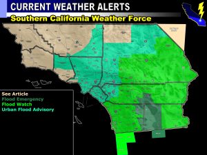
Below is a clickable map that shows the zones as to the SCWF Weather Alert Map
NOTE: Community tier for the email alerts has been discontinued by Wednesday September 7th due to insufficient help within the community for the next season, so if you want these delivered to your e-mail and/or to continue to have that option, and also the many other alerts for your area that is a custom forecast for that you won’t see elsewhere, including the member section GPS models when events are in – Sign up here – https://www.southerncaliforniaweatherforce.com/southern-california-weather-force-membership/
Southern California Weather Force Twitter – CLICK HERE


