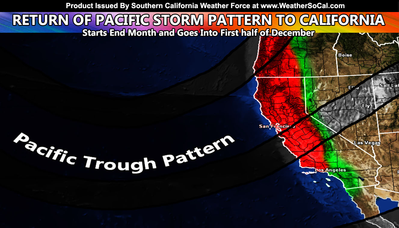
With a lull in the activity, which is expected, and a couple Santa Ana Wind events this month, we will return to a storm pattern by the end of the month right on into the first half of December so read on for details …
WANT THESE DELIVERED VIA THE APP? JOIN THE PATREON COMMUNITY TODAY FOR ALL THOSE PERKS INCLUDING BEING ON THE MICRO-CLIMATE ALERT SYSTEM BECAUSE NOT EVERY ALERT IS POSTED ON SOCIAL MEDIA FROM THIS WEATHER OFFICE – https://www.patreon.com/weatherforce
Join the Facebook Page for Further Updates If You Have Not Yet!
SOUTHERN CALIFORNIA WEATHER FORCE MAIN:
We have one Santa Ana Wind event behind us, the next happens this weekend (Saturday). That article can be seen by Clicking Here. Now many are wondering when the next storm pattern will be. Given the ridge of high pressure to the west and a Hudson low causing the major Lake Effect snowfall in the Great Lake regions, the next pattern will be within the next 10 days from this article and go through the next month.
Once the ridge does breakdown, a trough will be allowed to replace it well off the coast, about 1000 miles or so. This will bring a steady stream of moisture into the west coast again, from the Pacific Northwest to Southern California. Given we do have a small ridge in the way in Baja, this type of pattern with the southwest flow favors south of the local mountains, meaning we can target Santa Barbara, San Luis Obispo, and Ventura more than say San Diego.
At the current time, we are at 2.37″ of rain for the season at the Downtown Los Angeles sensor. For the month of November, normal is 0.78″ of rain. We are at 1.98″ for this month thus far, making us above average for the season right now. We also have been seeing colder than normal temperatures. This is remaining on target to the original forecast for above normal rain and colder than normal for this month. We shall continue this trend into the next month.
For the high and low deserts though, as always it means the wind will return for you …
WANT THESE DELIVERED VIA THE APP? JOIN THE PATREON COMMUNITY TODAY FOR ALL THOSE PERKS INCLUDING BEING ON THE MICRO-CLIMATE ALERT SYSTEM BECAUSE NOT EVERY ALERT IS POSTED ON SOCIAL MEDIA FROM THIS WEATHER OFFICE – https://www.patreon.com/weatherforce
Join The Main Southern California Weather Force Facebook Group (50 percent delivery time) – You can join the main SCWF page as well through that group.
Click Here To Join The Page Today

