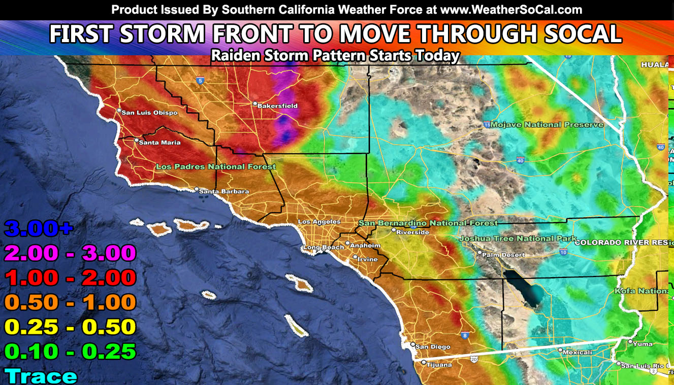
The first storm front out of a series of them will move into Southern California today, first starting across San Luis Obispo and Santa Barbara County this morning, spreading east into the metros by the later afternoon and evening, maximizing tonight, and moving out over the morning on Wednesday.
WANT THESE DELIVERED WITH ALL THOSE PERKS INCLUDING BEING ON THE MICRO-CLIMATE ALERT SYSTEM AND MODELS DURING EVENTS BECAUSE NOT EVERY ALERT IS POSTED ON SOCIAL MEDIA FROM THIS WEATHER OFFICE – JOIN TODAY BY CLICKING HERE – Southern California Weather Force Subscriber System – Southern California Weather Force
Join the Facebook Page for Further Updates If You Have Not Yet!
SOUTHERN CALIFORNIA WEATHER FORCE MAIN:
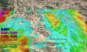
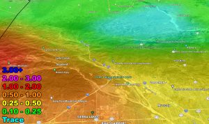
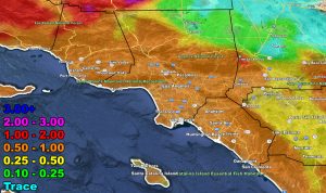
Rainfall amounts will be highest west of Los Angeles, where the Southern California Weather Force rainfall model projects 1-2″ in areas like Bakersfield, San Luis Obispo, and Vandenberg. The highest amount will be where the west to east flow hits an area between Tehachapi and Bakersfield, where I do see a chance of some flooding in areas like Keene and Bear Valley Springs, within the Tehachapi Mountains.
Snow-levels will be high with this as this is a warmer type of tropical connecting system. This will be the first in a series, with a front expected on Thursday and the strongest one of the series on New Years Eve. Given the speed of the New Years Eve cold front, we could get it out of the way in time for the rose parade to be rain free, but as for plans to stay overnight, expect wet conditions in Pasadena.
LONG RANGE: Unsettled weather will be off and on through the first half of January. Additional articles will be written as numbers are crunched.
Here is the rainfall forecast for this first front.
Rain Model – VALID TODAY THROUGH WEDNESDAY MORNING – 12-27/28-2022
SUPPORTING MEMBERS: Click Here To See The GPS Version Of This Model In Your Member Section Tab.
WANT THESE DELIVERED WITH ALL THOSE PERKS INCLUDING BEING ON THE MICRO-CLIMATE ALERT SYSTEM AND MODELS DURING EVENTS BECAUSE NOT EVERY ALERT IS POSTED ON SOCIAL MEDIA FROM THIS WEATHER OFFICE – JOIN TODAY BY CLICKING HERE – Southern California Weather Force Subscriber System – Southern California Weather Force
Join The Main Southern California Weather Force Facebook Group (50 percent delivery time) – You can join the main SCWF page as well through that group.
Click Here To Join The Page Today

