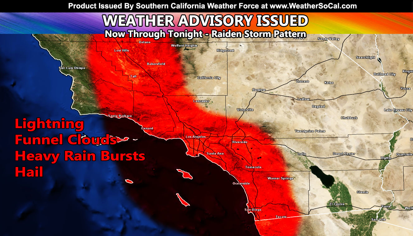
Southern California Weather Force has issued a Weather Advisory for scattered thunderstorm cells containing lightning, funnel clouds, hail, and burst of rainfall today through tonight. The locations will be Santa Barbara, Kern, Ventura, Los Angeles, Orange, Inland Empire, and San Diego forecast zones so read on for details …
Latest satellite images show another impulse approaching the bight of Southern California, southwest of Vandenberg Space Force Base. This impulse will continue to pump in moisture across the forecast area. Instability will develop quickly today due to the breaks in the activity. As this happens, warm low-level air will work with cold air aloft to produce that thunder/hail risk with any of the cells moving across the advisory zones as well as funnels/small tornadoes.
This is not a squall-line type scenario, but it will be more convective (thunder/hail) than yesterday due to the lower freezing levels with the instability present. Snow levels will be around 4,000-4,500 FT today with additional snowfall at and above that level on top of what you got thus far.
LONG RANGE: Another system will be in the area toward the end of the month, or around mid-week next week. Advisories will be issued for that one today at 10am.
Join the Facebook Page for Further Updates If You Have Not Yet!
SOUTHERN CALIFORNIA WEATHER FORCE MAIN:
Join The Main Southern California Weather Force Facebook Group (50 percent delivery time) – You can join the main SCWF page as well through that group.
Click Here To Join The Page Today

