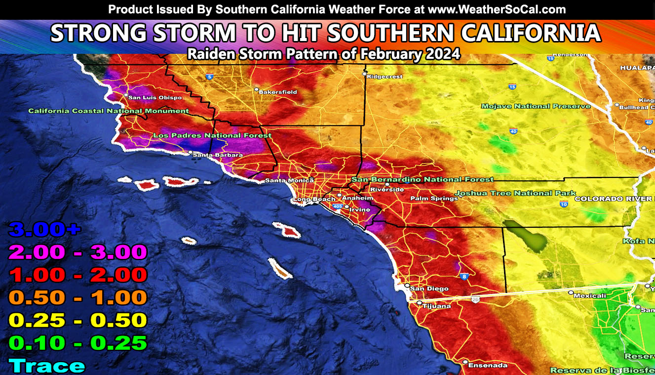
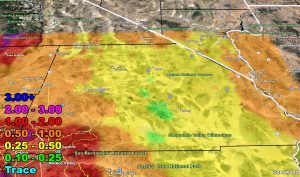
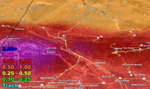
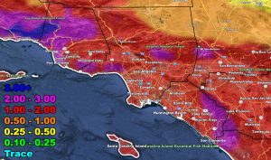
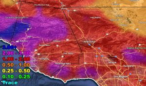
Southern California Weather Force has issued a Flood Watch for the following areas, effective Thursday, February 1st, 2024 as a strong storm system will hit the area with the start of the Raiden Storm Pattern of February 2024.
All of Kern, San Luis Obispo, Santa Barbara, Ventura, Los Angeles, Orange, and San Diego County.
The Inland Empire and all surrounding mountain areas.
The Coachella Valley to Morongo Basin.
High Desert.
Baja Coast and Inland.
Discussion: A storm system is set to hit on Thursday. As previously stated, these will deliver the high rainfall totals for the day. The system will start on Wednesday, overnight, mostly on Thursday morning before sunrise for the San Luis Obispo, Santa Barbara, Kern, and Ventura areas, spreading south and east to the rest of the forecast area as the day moves along.
Unlike most events that hit overnight for everyone, this one will be a daytime crusher. It will be raining all day on Thursday for the watch areas. Additional alerts will be issued if needed. This also contains windy conditions near the entire coastal areas, where wind will be the strongest, especially for San Luis Obispo, Santa Barbara, and Ventura as the front moves through.
Long Range: A second system is set to hit behind this one as we resume the Raiden Storm Pattern. This system looks colder than the Thursday one and hits later on Sunday. There is a chance it will get stuck in the pattern offshore, delivering consistent rainfall for two or even three days. Should that happen, it will be the stronger one of the two.
Currently Los Angeles USC sits at 4.74″ of rainfall for the season. These should push that number closer to the 10″ mark. In order to get average, we would need 5″ of rainfall between the rest of this month and May, with February usually being the month with the most rainfall in Southern California.
A Raiden Storm Pattern means a pattern that was foreseen ahead of any source, which; like a comet, bears the name of the one who discovered it.
Stay tuned to Southern California Weather Force for further updates …
For the rest of the forecast, use the model images here –
RAIN
– Raiden Storm –
https://www.southerncaliforniaweatherforce.com
Master General Meteorologist – is a consulting meteorologist for over 50 companies, including energy, agriculture, aviation, marine, leisure, and many more areas. He has certs from Mississippi State for broadcast met and Penn State forecasting certs MET 101, 241, 341 and 361 as a meteorologist, but before then was completely self-taught, barely learning a thing from the schools that he did not already know.
Both short and long-range is very important to know in those jobs so you can bet on accuracy here. He is versed in fields like Western USA, Tornadoes, Floods, Hurricanes, High Winds, Fire Behavior, Snow and Blizzards, Short Range, Long Range, Seasonal, and Life-Threatening decisions with over 25 years’ experience, out forecasting all weather services available today with lead-time and precision, which makes him a focus of ridicule and envy.
NOTE: Alerts are posted on here, be it a tornado watch, etc, and these alerts are issued from this office and nowhere else. At times, which is often, you will see an alert forecast posted on here that you do not see elsewhere.

