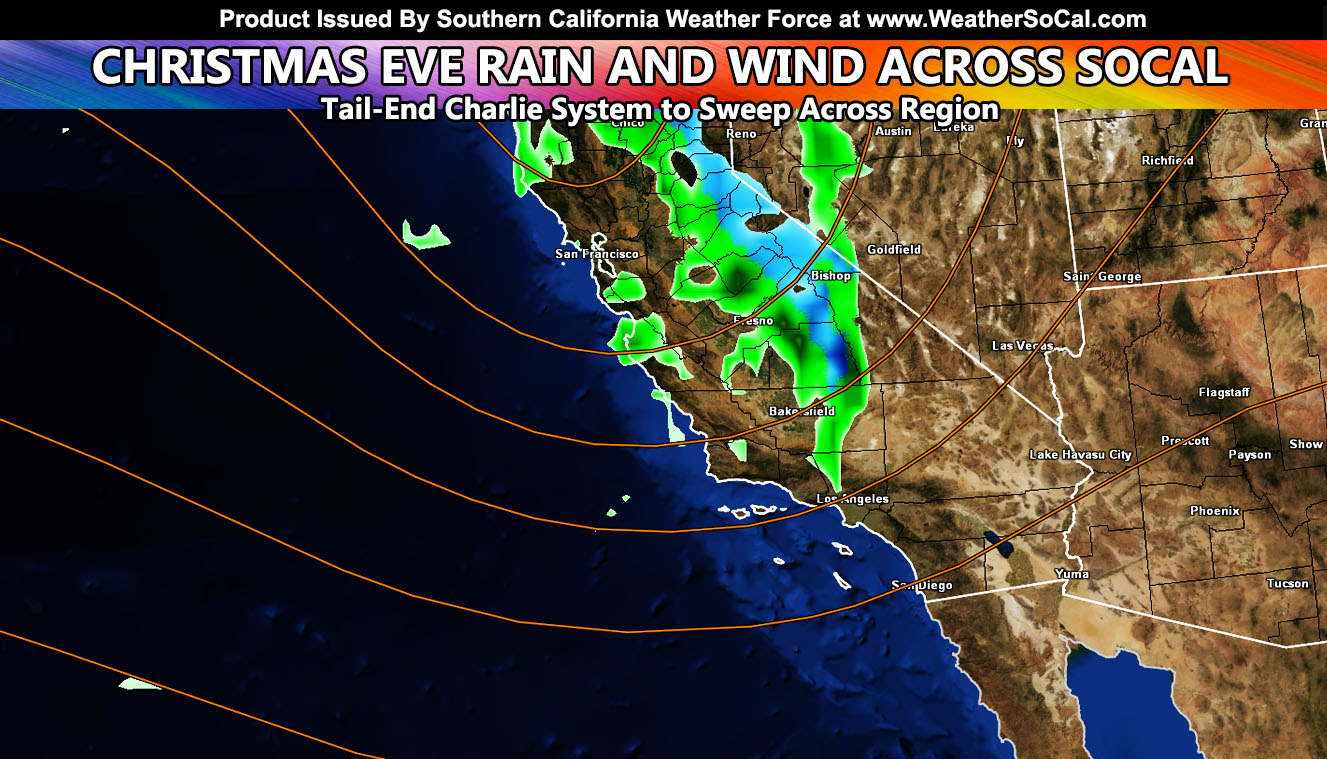
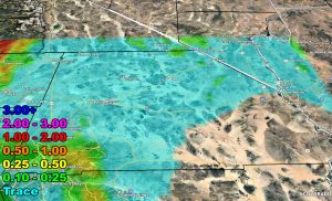
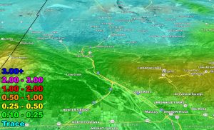
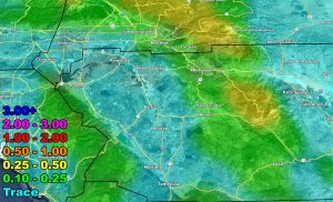
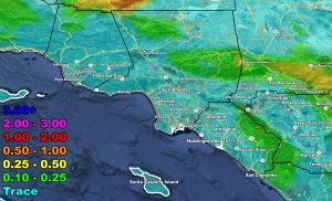
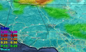
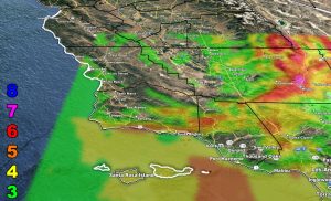
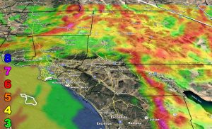
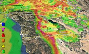
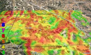
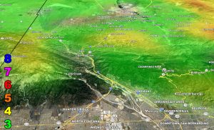
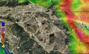
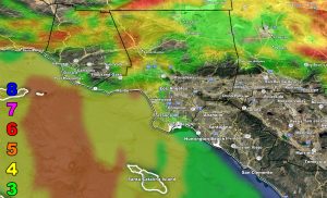
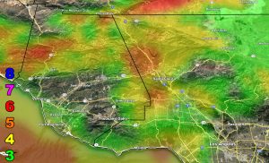
A storm system is set to hit California on Christmas Eve, with the most rain of course being further north into Central and Northern State. The tail-end of the front will move across Southern California then, which will be on a weakening state. A dusting of snow is also possible in the higher mountain areas, but not much is expected.
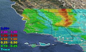
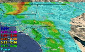
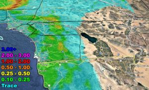
Use the official Southern California Weather Force models below for the zoom-in in your area, along with the scale provided. Here at Southern California Weather Force, we care nothing about mph, only what affects it can give.
RAIN
WIND
Raiden Storm Wind Gust Intensity Scale –
8. Extensive widespread damage.
7. Trees are broken or uprooted, building damage is considerable. – High Profile Vehicle Roll-Over CERTAIN.
6. SOME Trees are broken or uprooted, building damage is possible. – High Profile Vehicle Roll-Over Likely, Do NOT recommend Traveling in this zone. This zone also is the starting zone where trees and powerlines will fall and damage cars and even kill people near or in them!
5. Slight damage occurs to buildings; shingles are blown off of roofs. HIGH WIND WARNING CRITERIA – High Profile Vehicle Roll-Over Possible if weight is not corrected.
4. Twigs and small branches are broken from trees, walking is difficult.
3. Large trees sway, becoming difficult to walk. POWER SHUTDOWN THRESHOLD DURING FIRE WEATHER / WIND ADVISORY CRITERIA
Raiden Storm
Master General Meteorologist

