 Southern California Weather Force
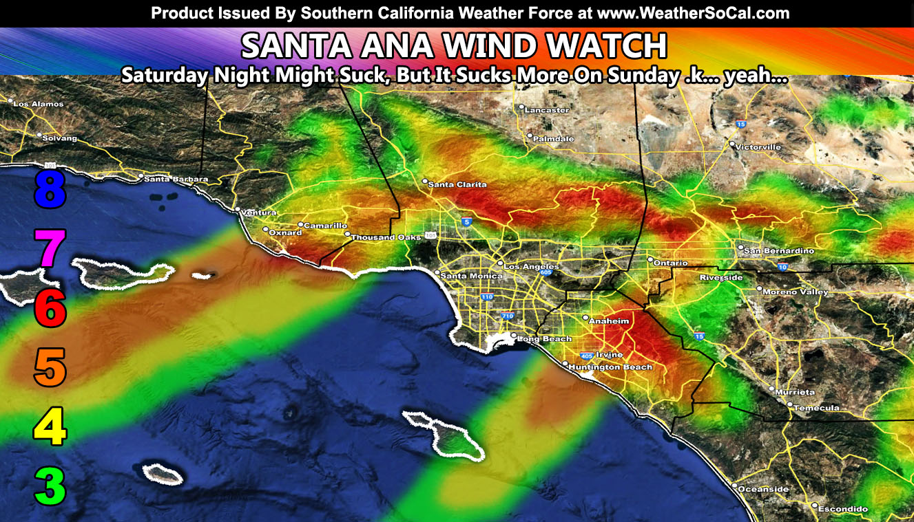
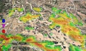
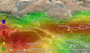
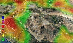
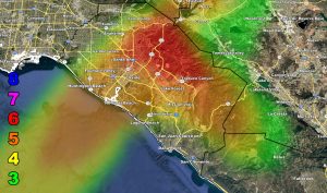
 has issued a Santa Ana Wind Watch, effective this weekend, weekend of January 11th, 2025 …Saturday night might suck for the higher shades, but Sunday morning will suck even more. OC and VT County are targets.
LONG RANGE: Another Santa Ana Wind Pattern is scheduled Tuesday
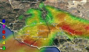
For the rest of you, use the Southern California Weather Force Wind Maps – San Diego County is a new zoom-in map as well.
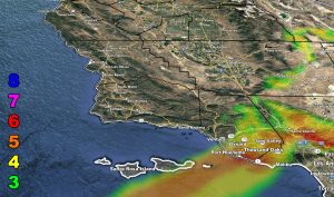
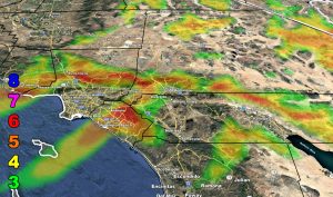
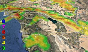
Here are the zoom-in models from this weather office. Use the wind key provided.
Raiden Storm Wind Gust Intensity Scale –
8. Extensive widespread damage.
7. Trees are broken or uprooted, building damage is considerable. – High Profile Vehicle Roll-Over CERTAIN.
6. SOME Trees are broken or uprooted, building damage is possible. – High Profile Vehicle Roll-Over Likely, Do NOT recommend Traveling in this zone. This zone also is the starting zone where trees and powerlines will fall and damage cars and even kill people near or in them!
5. Slight damage occurs to buildings; shingles are blown off of roofs. HIGH WIND WARNING CRITERIA – High Profile Vehicle Roll-Over Possible if weight is not corrected.
4. Twigs and small branches are broken from trees, walking is difficult.
3. Large trees sway, becoming difficult to walk. POWER SHUTDOWN THRESHOLD DURING FIRE WEATHER / WIND ADVISORY CRITERIA
Raiden Storm
Master General Meteorologist