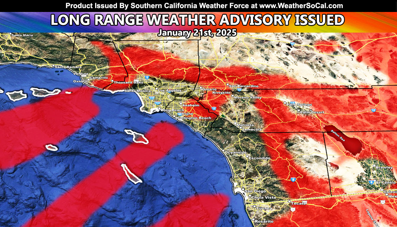
A storm system dropping into the Intermountain-West will bring thermal support, with extremely cold temperatures in the Great Basin. This will work with upper support to bring a Santa Ana Wind Pattern into the area. As stated earlier, this update is the official Long Range Weather Advisory.
There is a 100% chance that the electric companies will shut your power off for this event if you are in a zone that does so. So, after Wednesday’s event, we will go into a lull from the winds, then they will be back.
Wednesday (January 15th) Article if you didn’t see it – https://www.southerncaliforniaweatherforce.com/2025/01/13/enhanced-santa-ana-wind-update-issued-for-southern-california-maps-of-wind-and-fire-zones-issued/
Expect the event next week for this forecast to be nearly the same as the one that started the fires, including the Palisades Fire.
Raiden Storm
Master General Meteorologist

